JEBA performs multimodal High-Definition Surveys (HDS) using a variety of company-owned LiDAR sensors that are transportable to any site within our area of responsibility. These surveys are conducted by a highly capable, mobile, motivated, and goal-oriented team. Our HDS services form the foundation for complete, end-to-end scan-to-BIM and Building Information Modeling (BIM) services that support design, retrofit, construction, compliance, and long-term facility operations.
Our HDS toolkit includes:
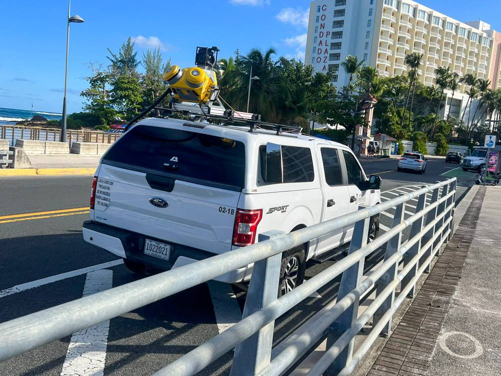
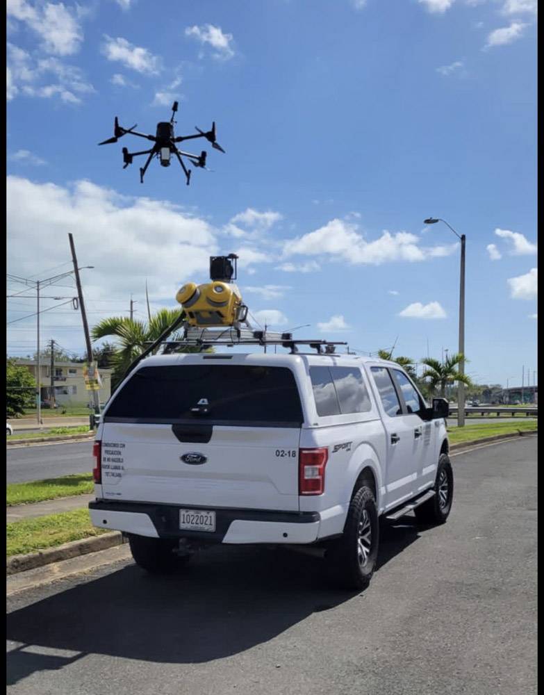
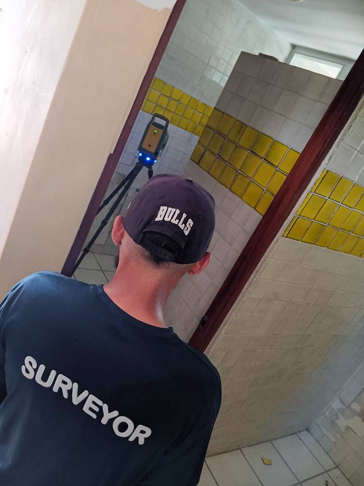
● Mobile LiDAR and Imagery Acquisition Systems (MTLS)
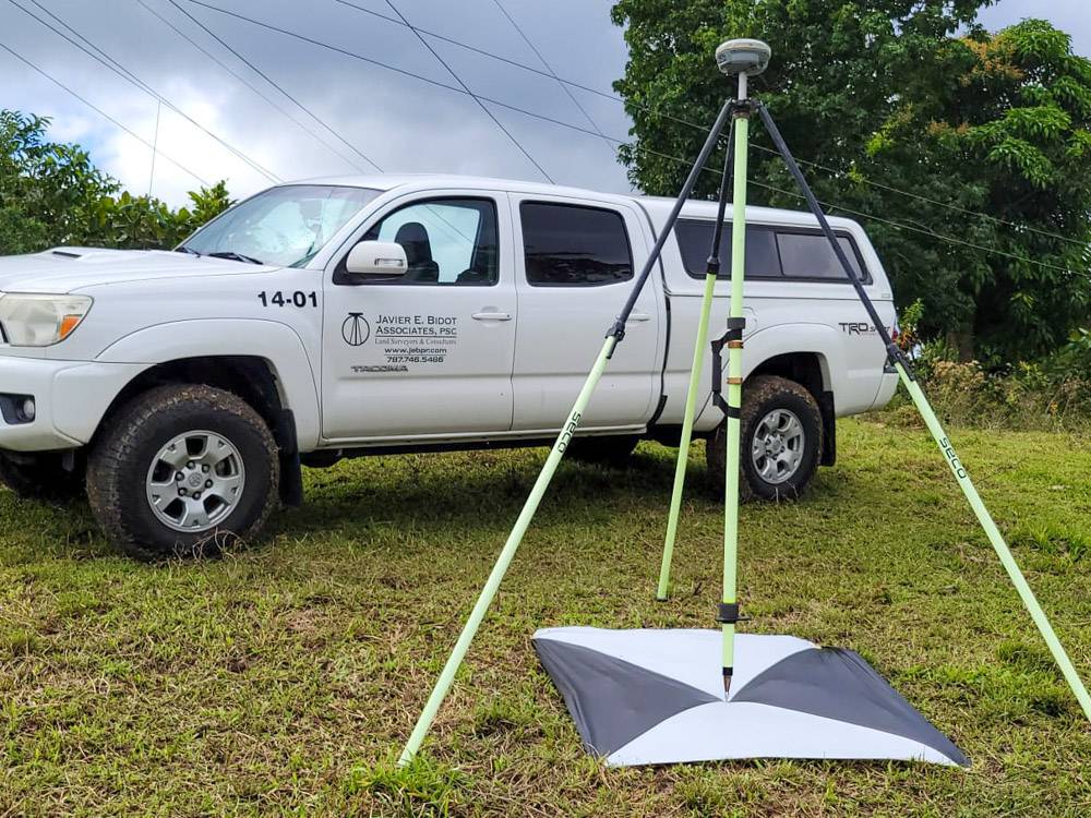
● Static Laser Scanning Systems (STLS)
● Aerial LiDAR and Imagery Acquisition Systems (ATLS) – Unmanned Systems (UAV)
● Aerial LiDAR and Imagery Acquisition Systems (ATLS) – Manned Systems
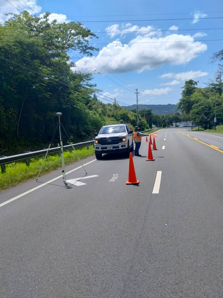
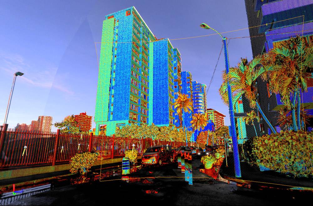
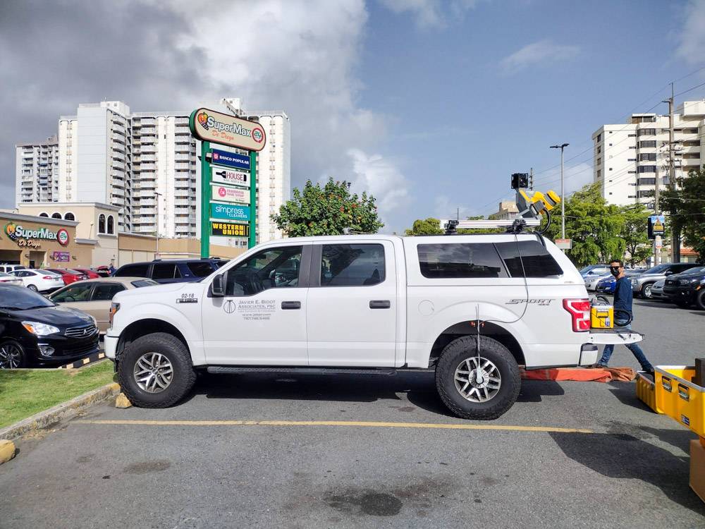
Mobile LiDAR (MTLS), introduced in 2022, is a transportable, multi-platform sensor that has proven invaluable for efficient data collection and roadway corridor mapping across Puerto Rico, Florida, and the U.S. Virgin Islands. It produces augmented datasets consisting of millions of 3D points paired with real-time imagery collected at a pace unimaginable with conventional survey methods. This wealth of data allows for enhanced detail in areas of interest while maintaining high-resolution accuracy across the entire surveyed project.
From LiDAR to BIM
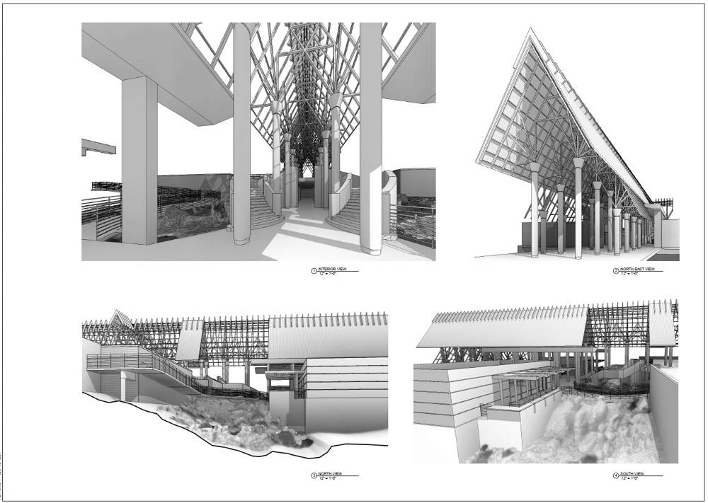
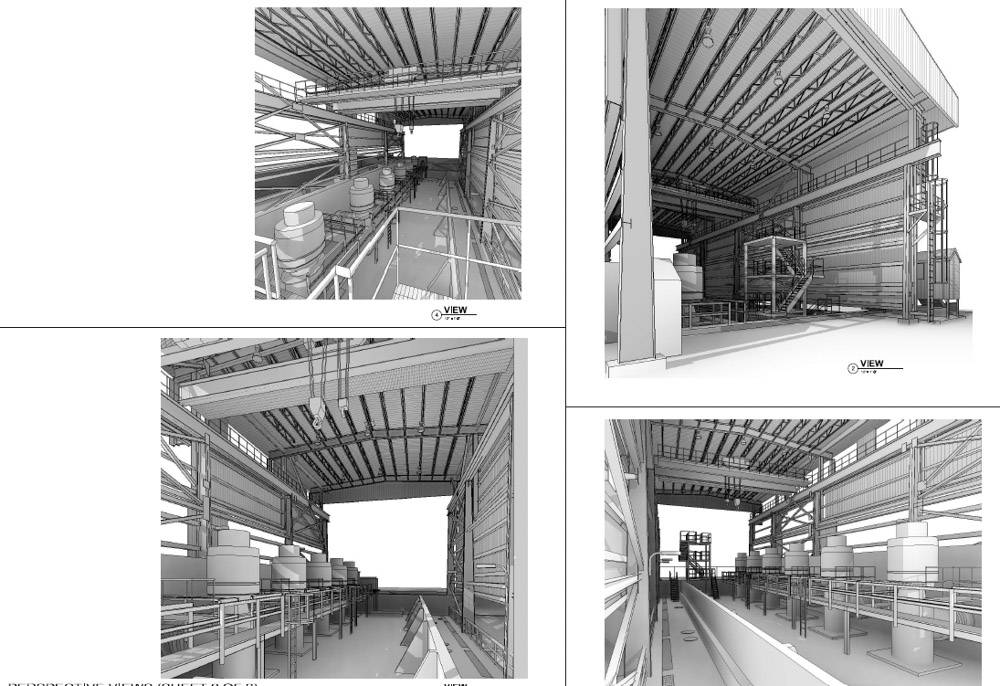
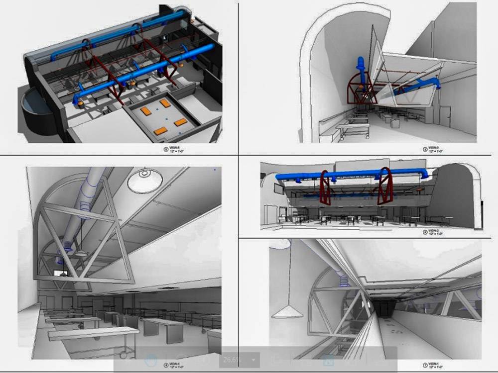
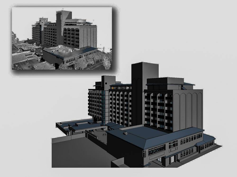
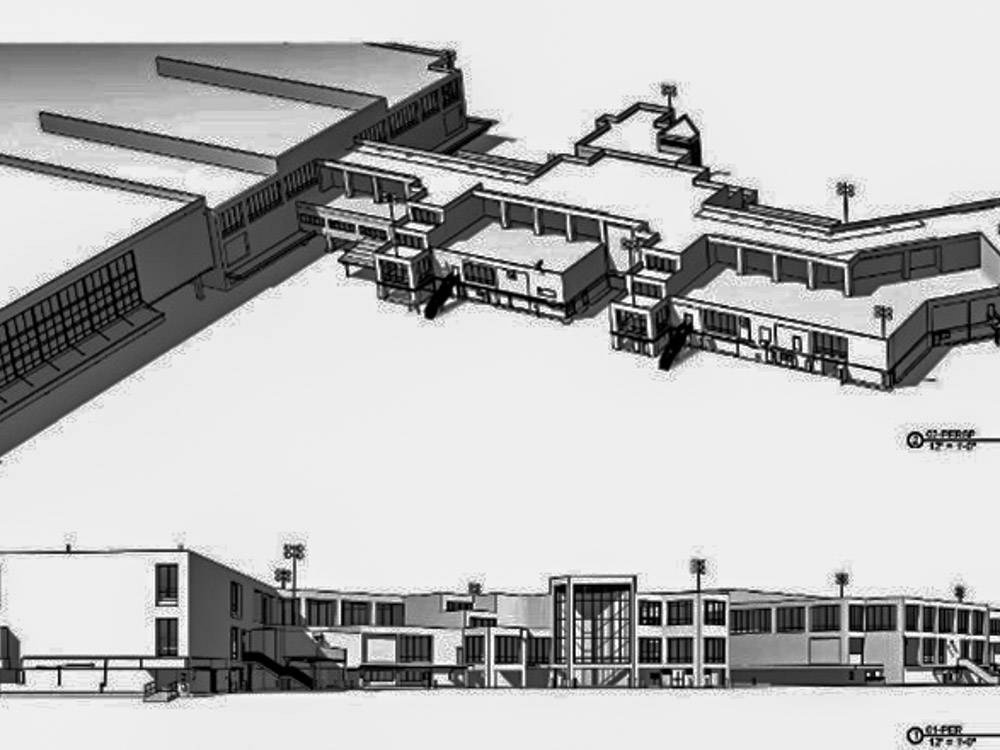
JEBA formats static and mobile HDS point clouds into deliverables tailored to client preferences, ranging from two-dimensional site plans to Level of Development (LOD) 200 and above, Building Information Models (BIM). Our BIM services include survey-grade scan-to-BIM modeling across architectural, structural, and MEP disciplines, producing design-ready Revit and IFC models that reflect actual field conditions rather than inferred geometry. These enriched deliverables help architects, engineers, owners, and operators hit the ground running with highly detailed, ready-to-use digital assets.
Our integrated BIM workflows support:
● Scan-to-BIM and as-built BIM
● Design coordination and clash-aware modeling
● Compliance documentation and regulatory support
● Owner standards and BIM execution plans
● Digital twin and long-term operations readiness
Applicable Across Scales and Facility Types
JEBA’s reality capture and BIM services span a wide range of environments, including:
● Commercial and mixed-use real estate projects
● Office, retail, hospitality, and adaptive reuse facilities
● Transportation and utility infrastructure corridors
● Industrial and mission-critical facilities
● Pharmaceutical and laboratory environments requiring high-accuracy deliverables
Because our BIM deliverables are grounded in instrumented measurement and survey control, clients rely on JEBA when precision is essential and risk must be minimized.
Proven Performance
Since 2021, JEBA has flown and mapped over 900 miles of powerline corridors using UAV and fixed-wing platforms (ATLS and UAV-ATLS). In a trendsetting approach, we provided a utility operator with A-E quality plans and specifications maps that include real estate, utility, and existing facility information. This mapping effort not only exceeded the operator’s design and construction capacity but also demonstrated JEBA’s ability to make surveying a solution rather than a development concern.
Please contact us to determine if a high-definition survey and scan-to-BIM solution is right for your project.