Mr. Bidot has served as Project Principal and Survey Technical Leader for many of the largest and most emblematic survey projects in Puerto Rico. From the layout of tracks for the island’s only rail project to executing complex real estate and land acquisition surveys for organizations such as the U.S. Army Corps of Engineers, the National Park Service, the Puerto Rico Electric Power Authority, and others, Mr. Bidot is frequently called upon for major infrastructure projects. With over twenty years of Federal Government survey experience as a contractor at various levels, Mr. Bidot has also been admitted to the local Court Circuit as an expert witness on numerous occasions. His professional expertise includes land development, construction management, contractor dispute resolution, and scheduling for large-scale residential and infrastructure projects. Mr. Bidot holds professional registration as a Land Surveyor and Mapper in Florida, New York, the U.S. Virgin Islands, and the Commonwealth of Puerto Rico. He is also a U.T.A. Certified Advanced Professional Utility Locator, Hypack-certified, and a certified boat operator. Additionally, he is an active member of the Puerto Rico Engineers and Land Surveyors Association (CIAPR), the National Society of Professional Surveyors (NSPS), the Florida Surveyors and Mappers Association (FSMS), and the New York State Association of Professional Land Surveyors (NYAPLS). Mr. Bidot has contributed to the professional community by providing continuing education courses for engineers and surveyors in Puerto Rico.
Staff
Our Experienced Staff
Professional Surveyors
Javier E. Bidot Cruz, PSM
Daniel E. Bidot Betancourt, PLS, URP
With over a decade of survey experience, Daniel E. Bidot focused on survey project management of large construction projects around Florida. As a registered Land Surveyor in Florida and Puerto Rico, Daniel was assigned as the project surveyor for construction projects totaling over 1 billion USD at the same time. Utilizing the latest technologies and methodologies, like UAS, Terrestrial LiDAR, and advanced project management, he is able to deliver construction quantity surveys, GNSS Control Surveys, construction quality control, hydrographic surveying, aerial surveying (LiDAR and Photogrammetry), terrestrial LiDAR, existing conditions surveys, utility surveys, etc.
Carlos Lebron, PSM
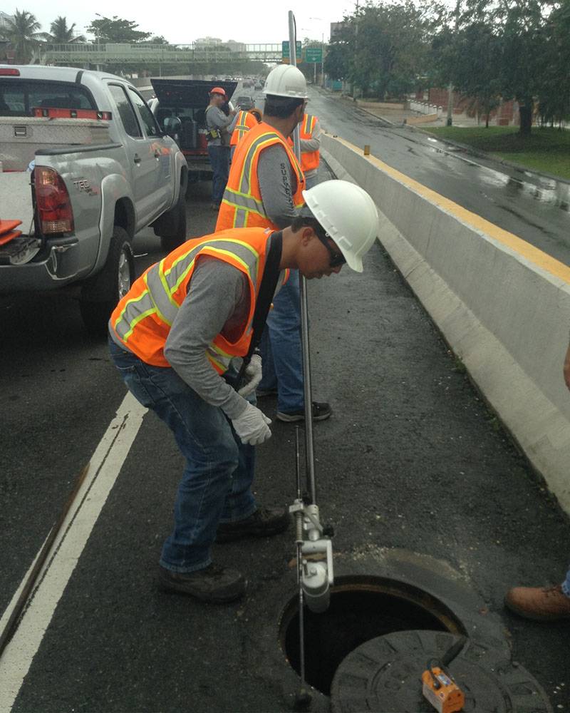
Mr. Lebrón, a registered land surveyor in Florida and Puerto Rico, is the surveyor in record and Chief Operations Officer of the firm. With over 15 years’ experience, and active Member of PR Engineers and Land Surveyors Association, he oversees the survey operation, supporting technical staff and subconsultants including and not limited to High-Definition Surveys, ALTA/NSPS Surveys, Topographic Surveys, Subsurface Utility Surveys and Hydrographic Surveys, Horizontal and Vertical Control Network and Right of Ways Plans. He performs quality control of all survey documents, including survey plans, record plats, descriptions, and review of title commitments reports. Mr. Lebrón is U.T.A. Certified Advanced Professional Utility Locator and FAA Unmanned Aerial Systems Certified Pilot (Part 107).
Javier Cartagena, PE
Most of the JEBA’s clients are in the Engineering community; therefore, it has been our priority to have an engineer on staff to ensure our products are in such form and function that warrants acceptance from our clients. Mr. Cartagena is a Professional Engineer. He has over 31 years of experience and 14 with JEBA. Mr. Cartagena is an active member of the Puerto Rico Engineers and Land Surveyors Association. He also handles aspects of DTM, Volume Calculations, Quality Control, and select mapping tasks.
Luis Rivera Cuevas, SIT
Mr. Luis Rivera holds a bachelor’s degree in Land Surveying and Mapping from the Polytechnic University of Puerto Rico and a minor in Project Management. He has been with JEBA for 9 years, during which he has completed numerous trainings and workshops in Hypack, advance utility locating and mobile LiDAR.
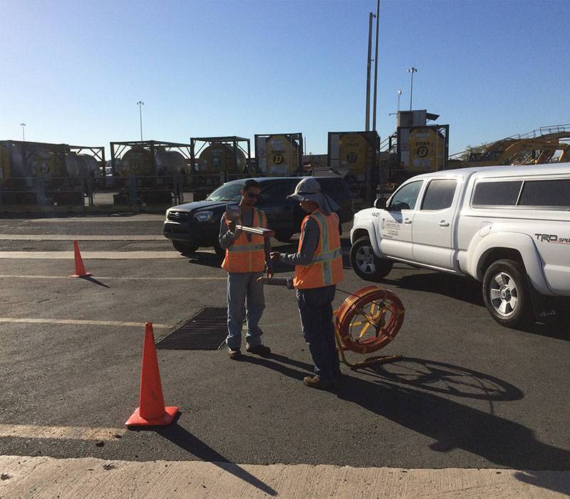
Mr. Rivera has performed numerous inland, near coastal and harbor surveys in Puerto Rico, Florida and the US Virgin Islands utilizing Hypack.
Mr. Rivera is the Senior Land Survey Technician, presently spearheading the utility location and identification (including SUE), mobile mapping and hydrographic survey engagements on the firm.
Hiram Torres-Suris, SIT
Mr. Torres has a bachelor’s degree in Land Surveying and Mapping from the Polytechnic University of Puerto Rico and a master’s degree in Hydrographic Science from the University of Southern Mississippi. He also holds a FIG/IHO/ICA Category “A” Hydrographic Surveyor Certification USM, Mississippi and US Merchant Mariner Credential OUPV Near Coastal License.
He is responsible for data collection, processing and mapping of hydrographic surveys, including single and multibeam technologies. Also, he oversees vessels navigation, safety and maintenance of the JEBA survey boat fleet.
Arnaldo Moreno, BSLS
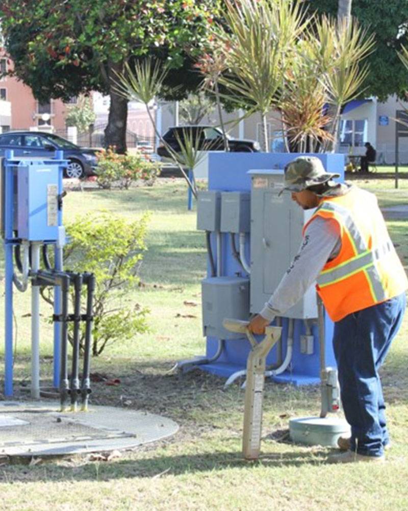
Mr. Moreno has a bachelor’s degree in Land Surveying and Mapping from the Polytechnic University of Puerto Rico and has been with JEBA for 25 years. He has major experience in topographic surveying for USACE projects in Puerto Rico and the US Virgin Islands. Besides topographic surveying, Mr. Moreno is the construction projects specialist, under the direct supervision of Mr. Bidot.
Javier Pagan, BSLS
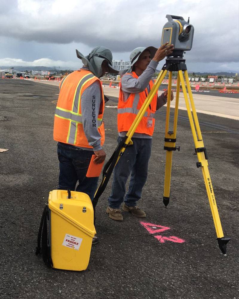
Mr. Javier Pagán holds a bachelor’s degree in Surveying and Mapping from the University of Puerto Rico, Mayaguez Campus. Within the JEBA team, he is responsible for the preparation of survey and geographic maps, reports, and permit documents under direct supervision of senior staff. He is a Mapping Technician with almost 7 years of experience in USACE projects and Remote Sensing/ LiDAR/ UAV projects.
Josean Cains, BSLS
Mr. Cains, graduated from the University of PR, Mayaguez campus, performs as a Project Manager, supervising and providing guidance to mapping and other technical resources under the direction of Senior Management. Mr. Cains assists in the development of UAV, mobile and terrestrial LiDAR products and undertakes complex Real Estate survey tasks related to the US ARMY Corps of Engineers Project.
Kimberly Aguilu, BSLS
Ms. Aguilu graduated from the University of Puerto Rico, Mayaguez Campus. She performs as a Senior Mapping Technician, responsible for Government Agency submittals, research, and filings, in coordination with Project Manager and key staff. She also coordinates and maintains records of the field notes, sketches, and photos from survey crews for all projects.
Emmanuel Rosario Correa, SIT
Emanuel Rosario serves as a Senior Survey Technician at JEBA, where he specializes in data collection, hydrographic surveys, and mapping support. His work includes field survey operations with advanced technologies, coordination with teams and stakeholders, and preparation of daily reports. Emanuel has contributed to a wide range of surveying and utility projects across Puerto Rico, supporting JEBA’s commitment to accuracy, efficiency, and professional service delivery.
Call Us To Schedule Your Survey Today
We take pride in treating every survey project with the utmost competency and efficiency to ensure the quality and timely execution of your project.