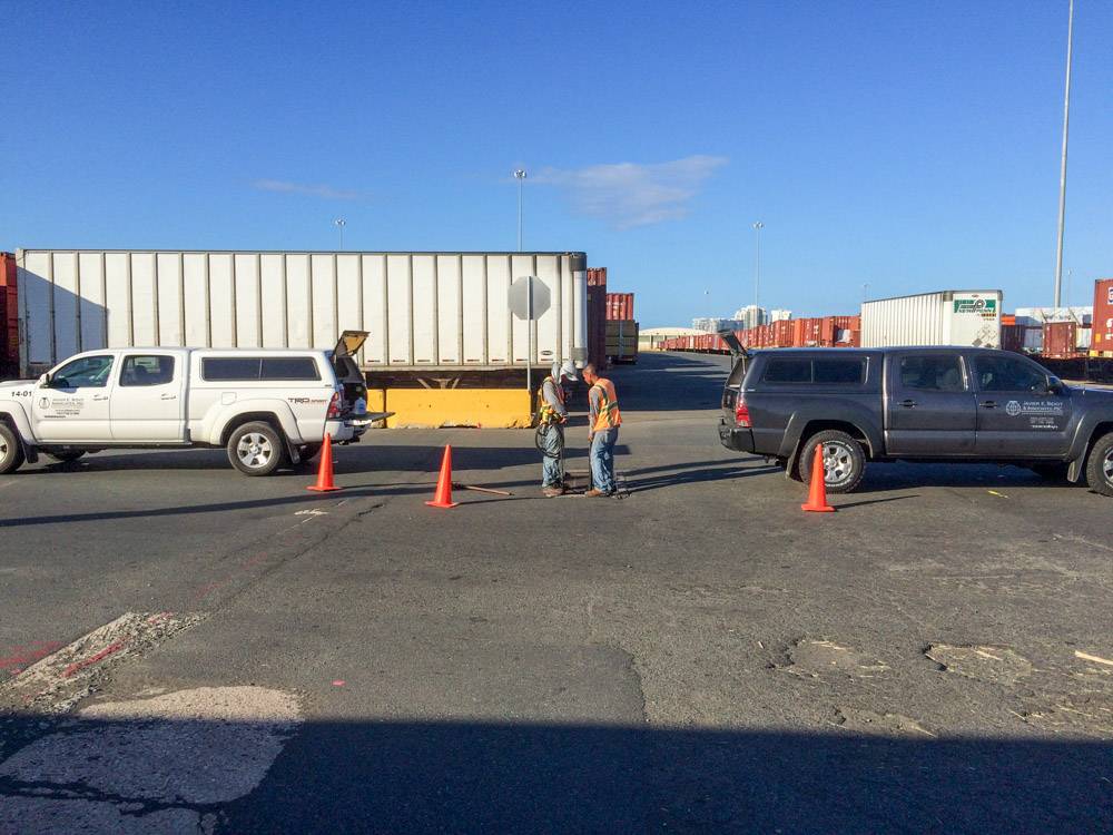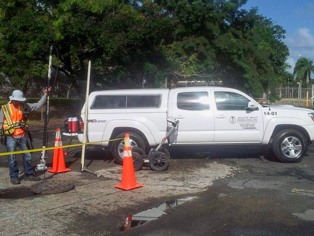
JEBA provides the highest quality utility location and identification services; offered as an integral part of our client’s risk management and decision-making process when analyzing impacts on existing infrastructure, and whenever digital mapping existing facilities is crucial to installing new utility infrastructure.
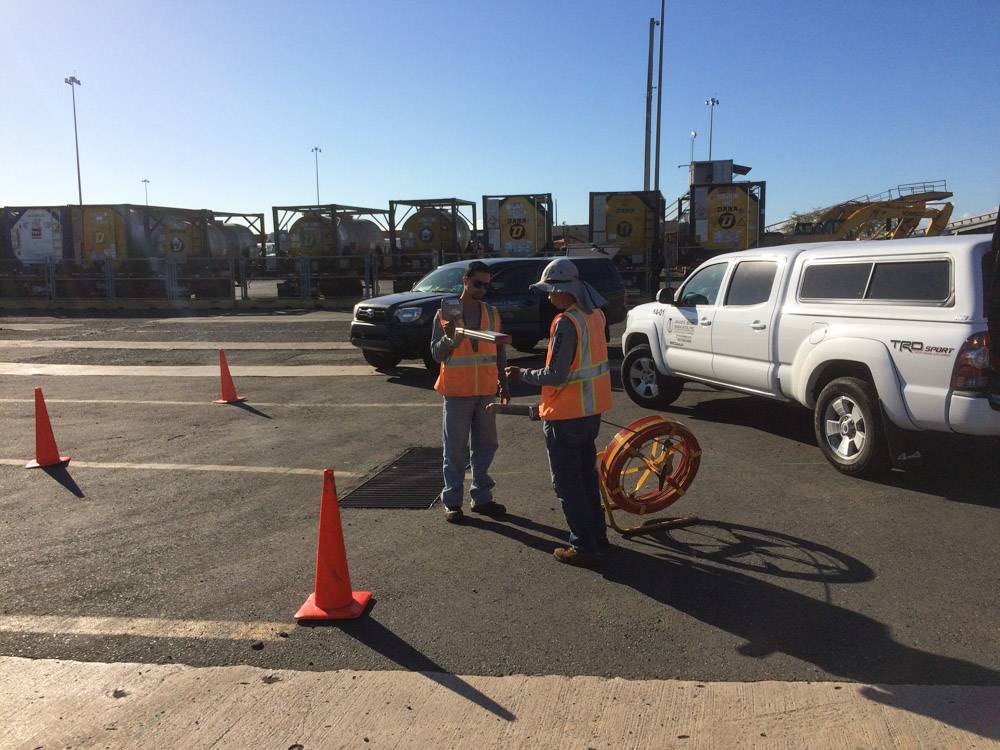
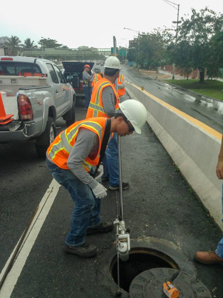
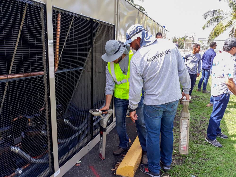
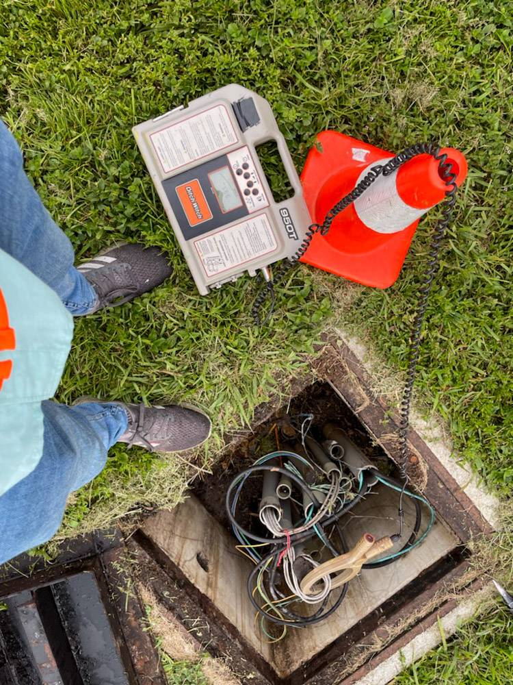
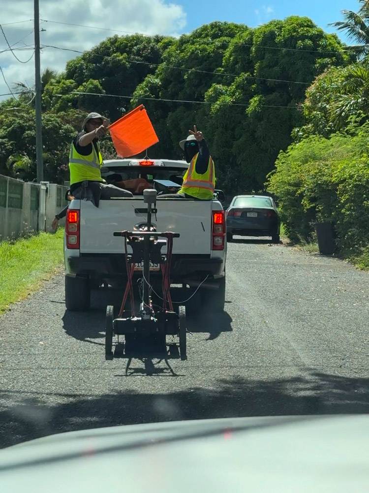
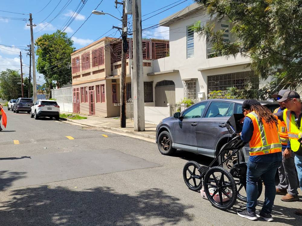
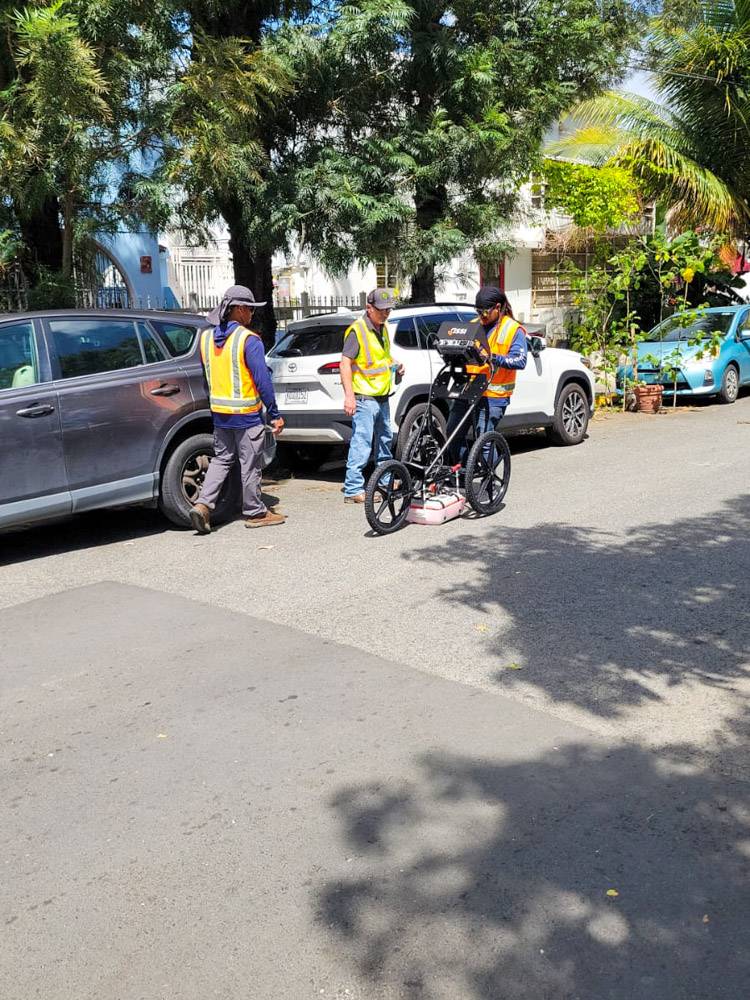
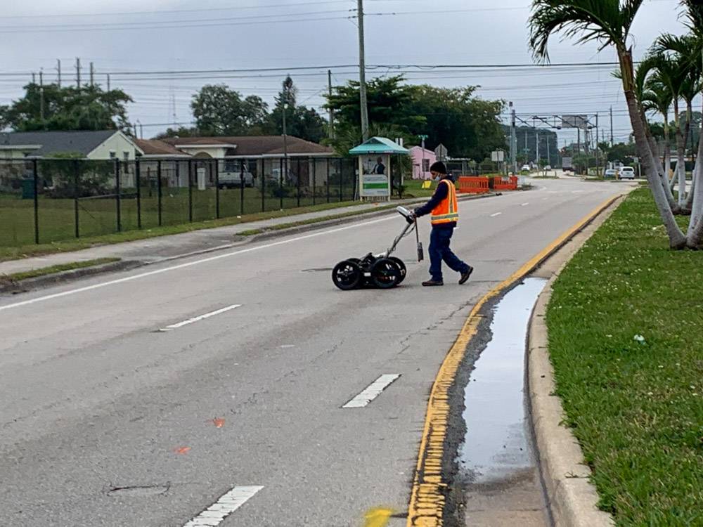
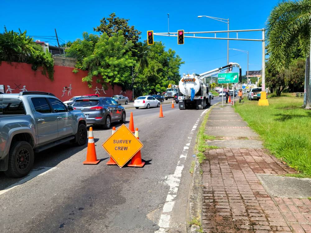
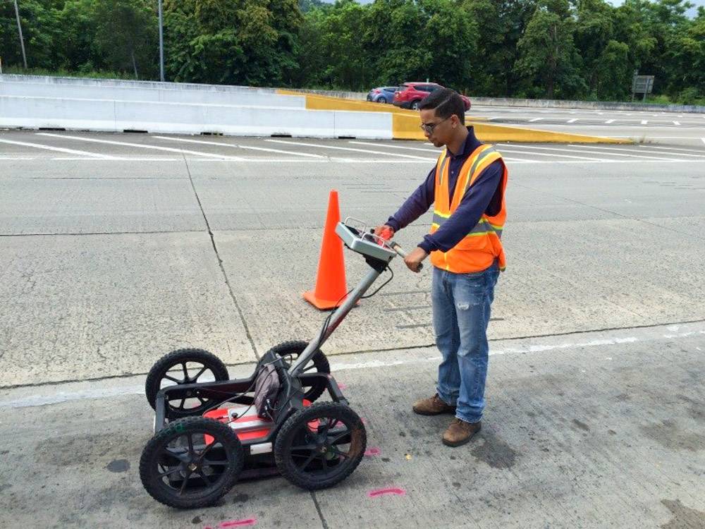
Our team, paired with the company’s own latest utility-grade GPR’s and electronic, magnetic and radio-magnetic prospecting equipment undergoes yearly or bi-yearly advance utility locator training which provides them with the tools required to perform efficient and accurate field prospecting, locates and mapping in a way that is meaningful to our Clients.
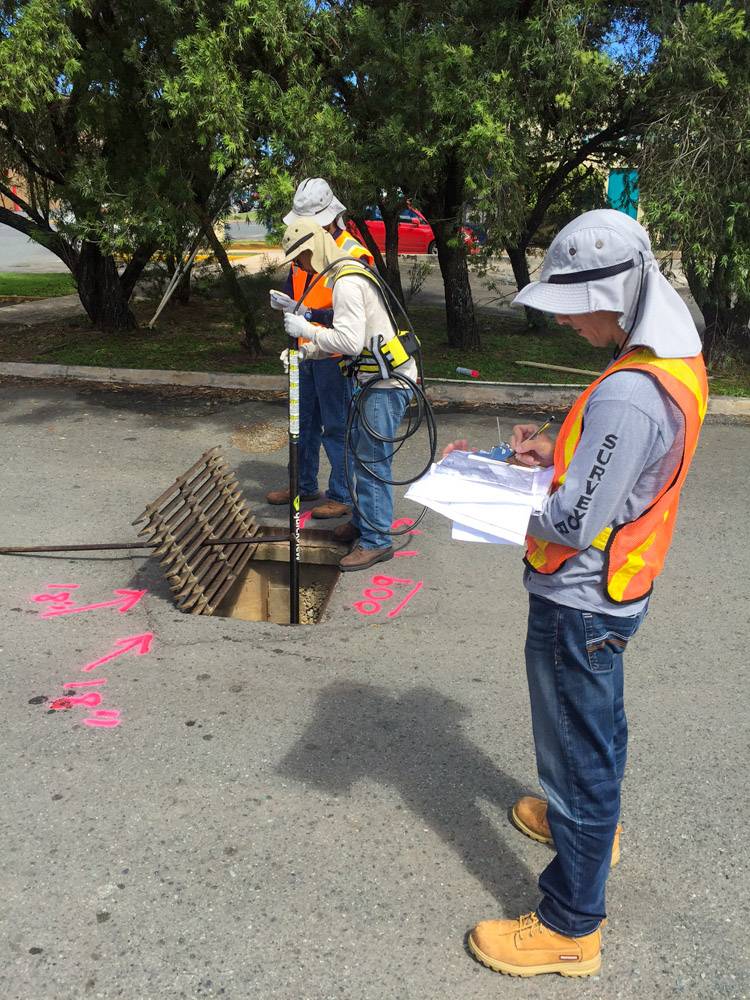
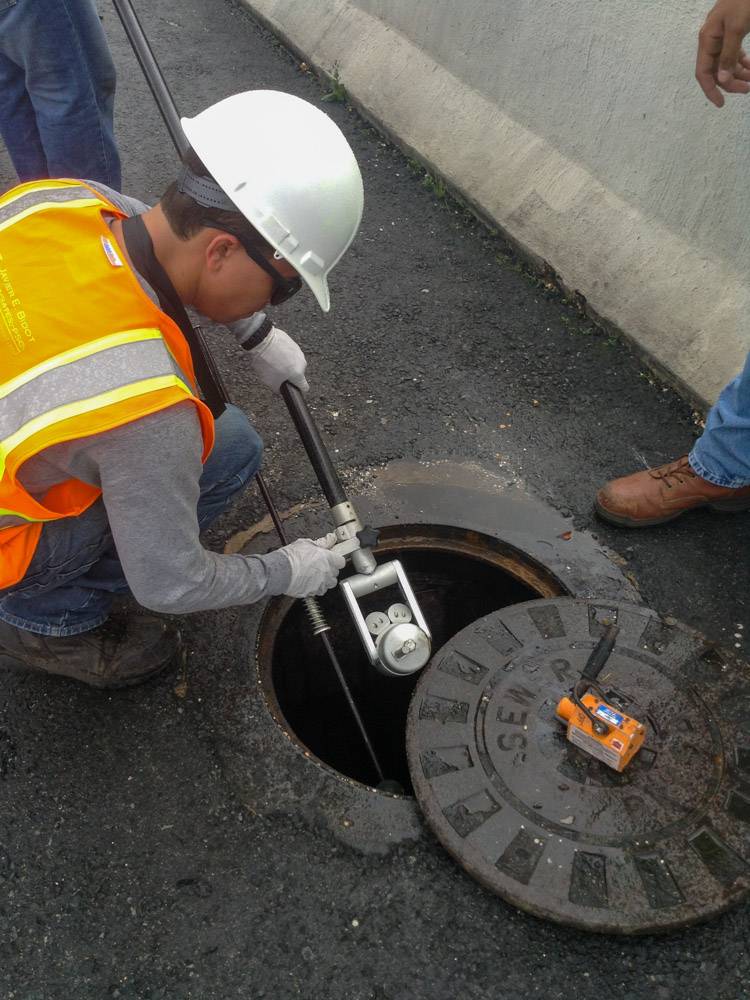
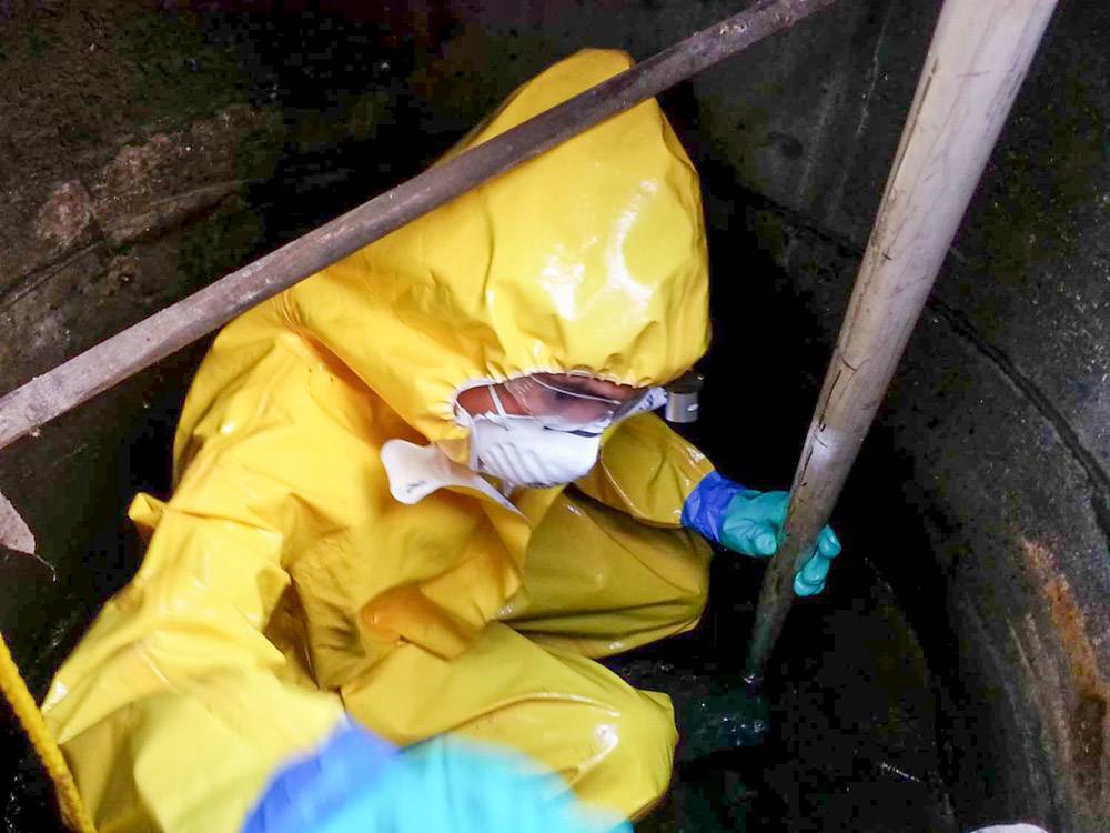
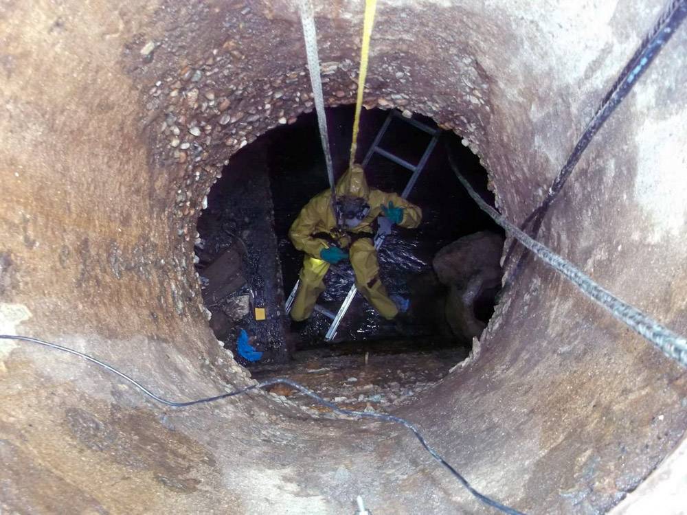
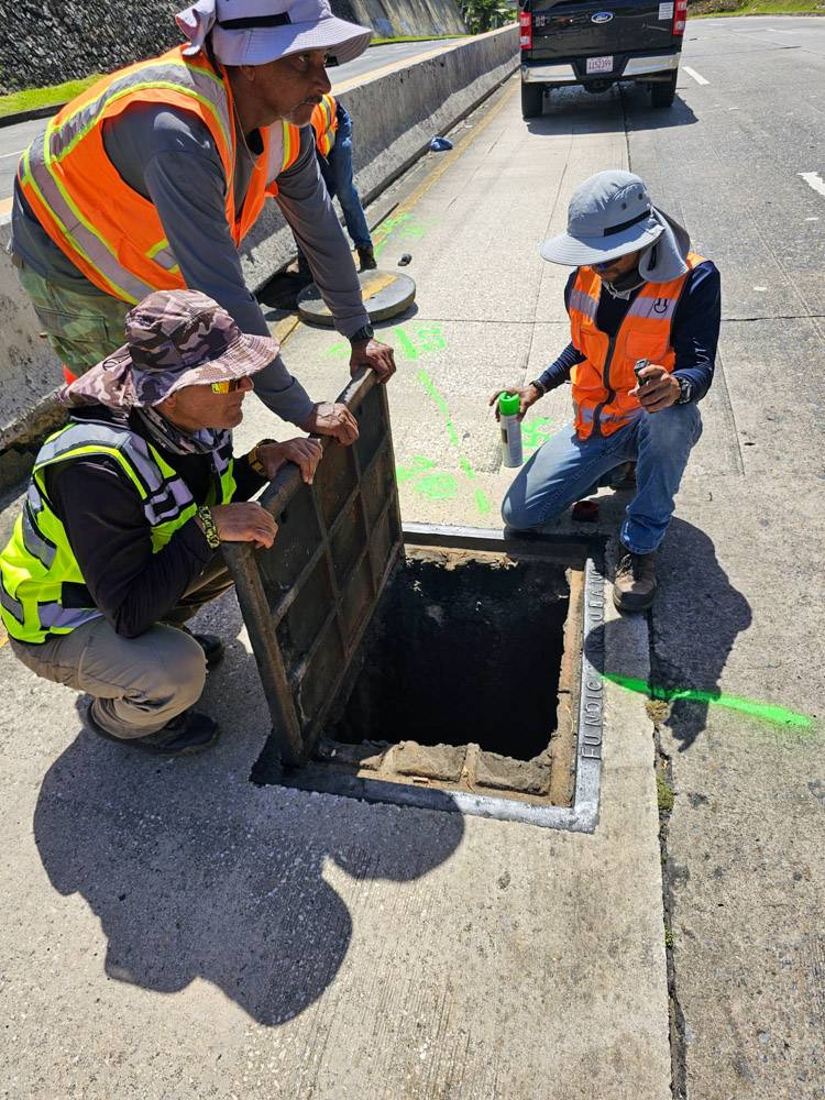
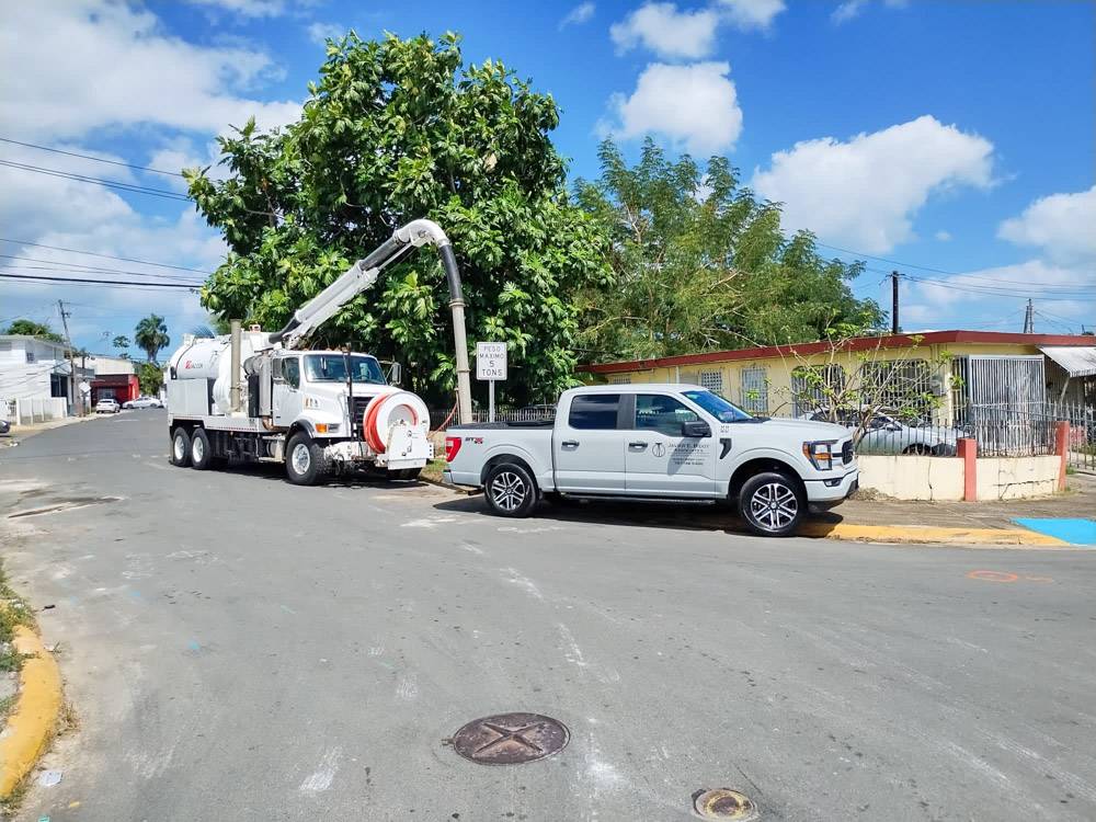
Whenever the Project calls for visual confirmation of found facilities, JEBA will perform non-destructive excavation to uncover subsurface assets and establish the accuracy of utility location to Quality Level A OF specification ASCE 38-22.
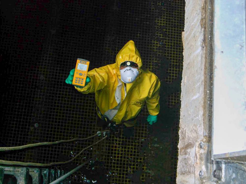
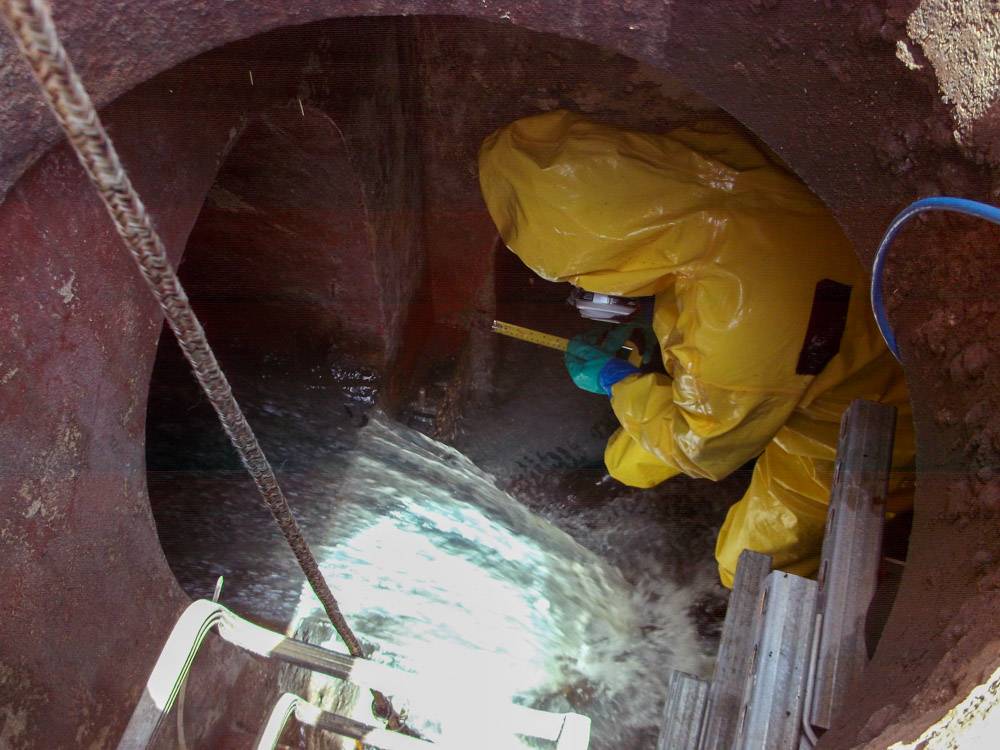
As a subspecialized service, our NASSCO certified staff will provide limited infrastructure conditions information on subsurface facilities.
As a primarily land surveying company, Clients benefit in the seamless flow of utility and facility information digitally mapped in the Survey deliverables in a myriad of formats including AutoDesk AutoCAD, Bentley Microstation or ESRI ARCGIS and compatible document and ASCII formats.